Drone Mapping Services
Point clouds and 3D site models
Dense point clouds and textured mesh models of a site or a building, for design work, visualisation and taking measurements off an existing structure.
Not sure which files you need? Every output this produces is listed here, with what each one is for and what it does not measure.
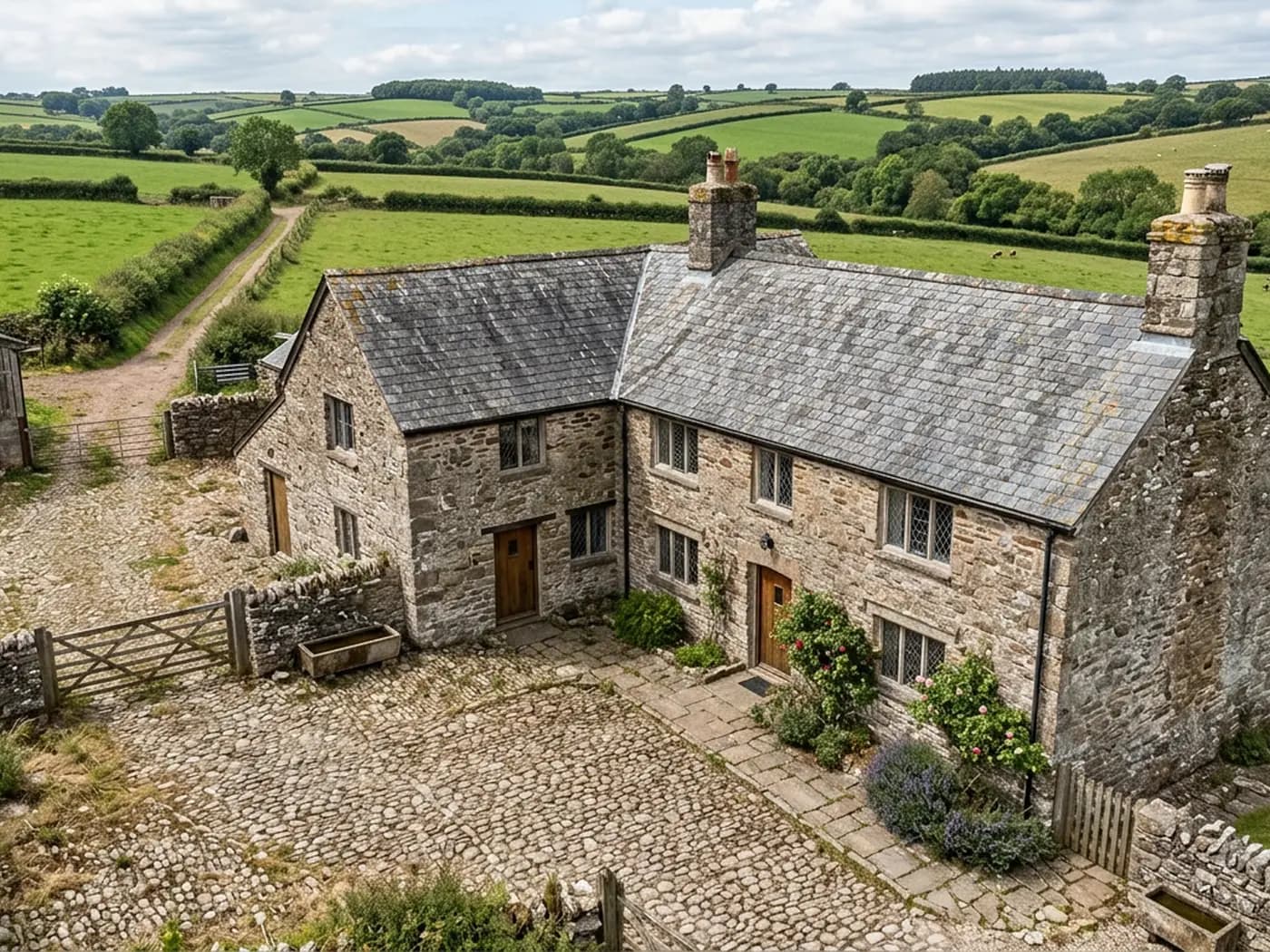
Where a map answers where things are, a model answers what shape they are. A dense point cloud is millions of measured points in three dimensions; a mesh is those points knitted into a surface with the photographs draped over it. Both give you an existing site or building you can rotate, section and measure inside your own software.
For architects working on a conversion or an extension, that usually means an existing elevation you can trace rather than one you have to go and measure off a ladder. For engineers, it means levels and shapes on ground that would otherwise need a day of walking with a staff.
It is not a substitute for a measured building survey where one is required, and the copy on this site will not pretend otherwise. It is a fast, cheap, full record of what is there, which for a large share of jobs is what the design stage actually needs.
What is included
- Dense point cloud in LAS or LAZ, and in a common exchange format if your software prefers one
- Textured mesh model in OBJ or FBX for visualisation and clash checking
- Elevations and plans traced from the model as DXF where you want them, rather than the raw cloud
- Oblique imagery of every face of a building or structure, kept with the model
- Model tied to your coordinate system, or to control points if the job has them
- A written note on coverage, occlusions and where the model should not be trusted
Where a photogrammetric model runs out
Anything the camera cannot see is not in the cloud. Interiors, roof voids, the underside of a soffit, a wall behind a mature hedge, the north face of a building tight against a boundary. Glass and standing water both confuse the processing, so windows, rooflights and flooded ground come out noisy or holed.
The other limit is that a model built from photographs alone carries no certified accuracy. It is dimensionally consistent, which is what makes it useful for design, and it is a record of shape and relationship rather than a legal statement about position.
What clients usually do with it
Trace an existing elevation for a planning drawing. Check a proposed extension against what is actually there rather than against a drawing from the 1980s. Show a client a scheme in context. Record a structure before it is altered or taken down, which costs very little at the time and is worth a great deal afterwards.
On heritage and listed work in particular, a full three dimensional record of a building before intervention is a cheap piece of insurance against the conversation nobody expects to have later about what was there beforehand.
On the day
How a 3d site models runs
- Step 1
Work out what has to be modelled
A whole site, one building, a single elevation or a structure. That decides the flight pattern and how much oblique capture is needed, which is most of the cost.
- Step 2
Capture the faces, not just the plan
Vertical surfaces need angled passes at several heights, flown at a standoff distance that suits the site, not just a grid over the top of it. Buildings in a street need a plan for the parts a camera cannot reach.
- Step 3
Build and clean
The cloud is generated, obvious noise removed, and the mesh built from it. Nothing is invented to fill a gap the camera could not see; gaps stay gaps and are named.
- Step 4
Export to your workflow
Formats are agreed first, so what arrives opens in the software you actually use rather than needing a conversion step at your end.
- Step 5
Handover
Files by download link within 48 hours, with the coverage note and any traced drawings you asked for.
Behind the work
Kit, cover and qualifications
CAA registered operator
Operator ID and Flyer ID held, which is the baseline anyone commissioning a flight over a live site should be asking to see before anything takes off.
A2 Certificate of Competency
The qualification that covers flying closer to people and property than the open default allows, which is what a built up site or a town centre survey needs.
100 megapixel Hasselblad camera
On a DJI Mavic 4 Pro. Resolution is the whole argument on a mapping job: it decides whether a stitched site map shows a plot peg or a smudge.
Radiometric thermal camera
A DJI Mavic 2 Enterprise Advanced with a 640 by 512 thermal sensor, for the jobs where a site needs a heat reading alongside the map.
Insured with Coverdrone
Full commercial cover. Certificates go to your site team or your client before the visit if that is part of your process.
Written note within 48 hours
Every job comes with a written record of conditions, coverage and the limits of the data, not just a folder of files with no explanation attached.
Construction background
The surveyor came into this from building work rather than from photography, so a site brief about levels, access and programme lands without translation.
3D site models
Point clouds and 3D site models questions
- Which formats can you supply?
- LAS and LAZ for point clouds, OBJ and FBX for textured meshes, DXF for anything traced. Ask at the brief stage if your software needs something else and we will confirm whether it can be produced before you commit.
- Can you model the inside of a building?
- No. This is an external capture flown from the air. Interiors need a different method and different equipment, and we would rather say so than sell you a partial model.
- Is this the same as a laser scan?
- No. A laser scanner measures distance directly. Photogrammetry works out shape from overlapping photographs. For an existing building at design stage, the difference in the result is often small; for anything requiring certified tolerances, it is not, and a scan is the right tool.
Where
Point clouds and 3D site models across the South West
Also on this site
See the output formats
Request a mapping quote with Drone Mapping Services
Tell us the address and what you need looking at. Sam Hembury will come back with a fixed price and the next available slot.