The deliverables
Every file this produces, and what each one is actually for
Formats
The file list
- Orthomosaic, GeoTIFF
- The scaled, geo-referenced site image. This is the background layer you draw over in CAD or load into a GIS. Supplied with a world file so it lands in the right position on its own.
- Opens in AutoCAD, QGIS, ArcGIS, Civil 3D, most civils packages
- Orthomosaic, JPEG or PNG
- The same image without the geo-referencing, for a report, a presentation or a planning statement where a picture is all that is needed.
- Opens in Anything
- Digital surface model, GeoTIFF
- A height for every visible surface, including buildings, plant, stockpiles and vegetation. The starting point for anything to do with levels.
- Opens in QGIS, ArcGIS, Civil 3D, Global Mapper
- Digital terrain model, GeoTIFF
- The ground with the things that are not ground taken out. Contours, sections and earthworks quantities come from this rather than from the surface model.
- Opens in QGIS, ArcGIS, Civil 3D, Global Mapper
- Contours, DXF or shapefile
- Contour lines at the interval you specify, ready to drop straight under a drawing. Quarter or half metre suits most development platforms; wider suits large rural sites.
- Opens in AutoCAD, Civil 3D, QGIS, ArcGIS
- Point cloud, LAS or LAZ
- The measured points themselves, in three dimensions. Used for modelling existing conditions, sectioning through a structure and taking dimensions off something already built.
- Opens in Revit, Civil 3D, CloudCompare, Recap, Bentley products
- Textured mesh, OBJ or FBX
- The surface knitted together with the photographs draped over it. For visualisation, context models and showing a scheme against what is there now.
- Opens in SketchUp, Blender, 3ds Max, Twinmotion
- Traced drawings, DXF
- Boundaries, building outlines, hard surfaces or an existing elevation, drawn from the model rather than handed over as raw data for you to trace yourself.
- Opens in AutoCAD, any CAD package
- Scaled site plan, PDF
- A printed sheet at a stated scale, for a site meeting, a planning submission or a client who does not open CAD files.
- Opens in Anything
- Volume report
- The quantity, plus the base surface it was measured against, the method used and what was excluded. The figure on its own would not tell you enough to check it.
- Opens in PDF, with the working supplied as a surface if you want to repeat it
Coordinate systems and control
Say which coordinate system you work in at the brief stage and the exports come out in it. British National Grid is the usual answer in this part of the world, and a local site grid is straightforward as long as you can supply the points that define it.
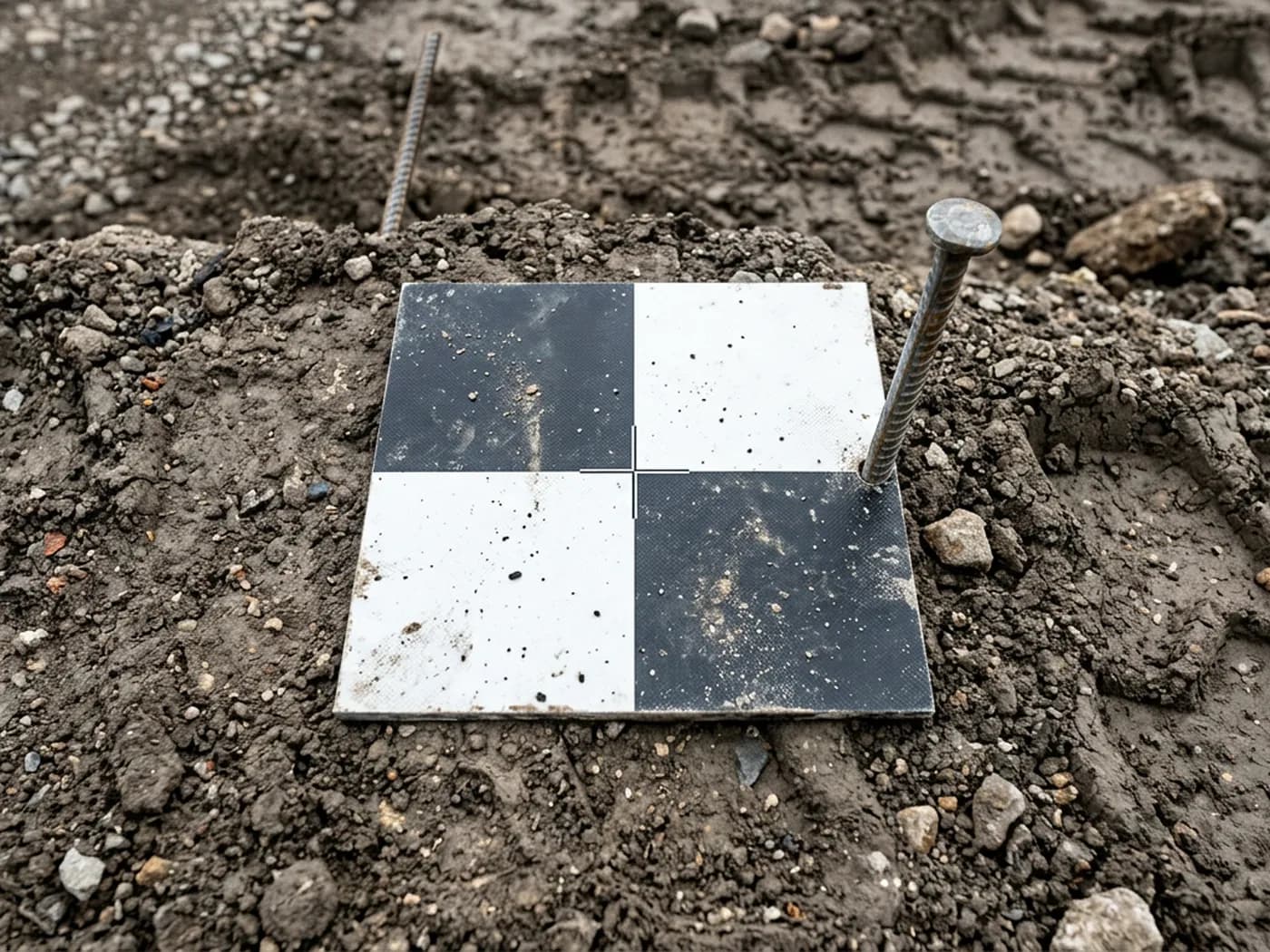
There are two ways a job gets positioned. Positioning from the aircraft alone puts the site broadly in the right place, which suits feasibility work, planning drawings, progress records and estimating. Tying the flight to surveyed control points, established on the ground by a land surveyor, is what an engineering or setting out drawing needs.
Where a job has control, we fly to it and the note records which points were used. Where it does not, the note says that too. What you will not find anywhere on this site is a centimetre figure attached to a flight with nothing on the ground to check it against, because that number would be doing work it cannot support.
Limits
What photogrammetry does not measure
Anything the camera cannot see
Ground under a dense canopy, under a building, inside a culvert, behind a wall or under a parked vehicle. It is absent from the data rather than approximated in it.
Water and glass
Standing water reflects rather than returns a surface, and glass confuses the matching. Flooded ground, ponds, rooflights and glazed elevations come out noisy or holed.
The ground under vegetation
Terrain under a mature Devon hedge bank is inferred from the points either side of it, not measured through it. On open, worked ground the terrain model is far more reliable than it is under planting.
Anything moving
Plant, vehicles and people move between overlapping frames, so they smear or drop out. That is a feature on a busy site rather than a fault, but it means a live haul route is not a place to take a level from.
Certified accuracy
A photogrammetric model is dimensionally consistent, which is what makes it useful at design stage. It is not a certified statement of position, and where a project needs one, that comes from a land surveyor.
Interiors
This is external capture flown from the air. Inside a building needs a different method and different equipment, and saying so is cheaper for everyone than a partial model.
The imagery stays on file
Raw imagery from every flight is kept, which means a later output can usually be produced from a flight already made. If a site was mapped for a planning drawing in March and somebody wants contours from it in July, that is a processing job rather than another visit.
It also means a repeat flight over the same site can be processed to the same setup as the first, which is the thing that makes two dates comparable. Deciding at the first visit whether a site will be monitored over time is worth five minutes at the brief stage and awkward to retrofit later.
See the output formats
Tell us which formats you work in
Send the site boundary and the software you use, and the export list is set up for it before anything takes off.