Devon · EX1-EX6
Drone mapping services in Exeter
The busiest source of mapping work in the region, with land coming forward on every edge of the city and an airport control zone over its eastern side.
A city being extended on all four edges at once
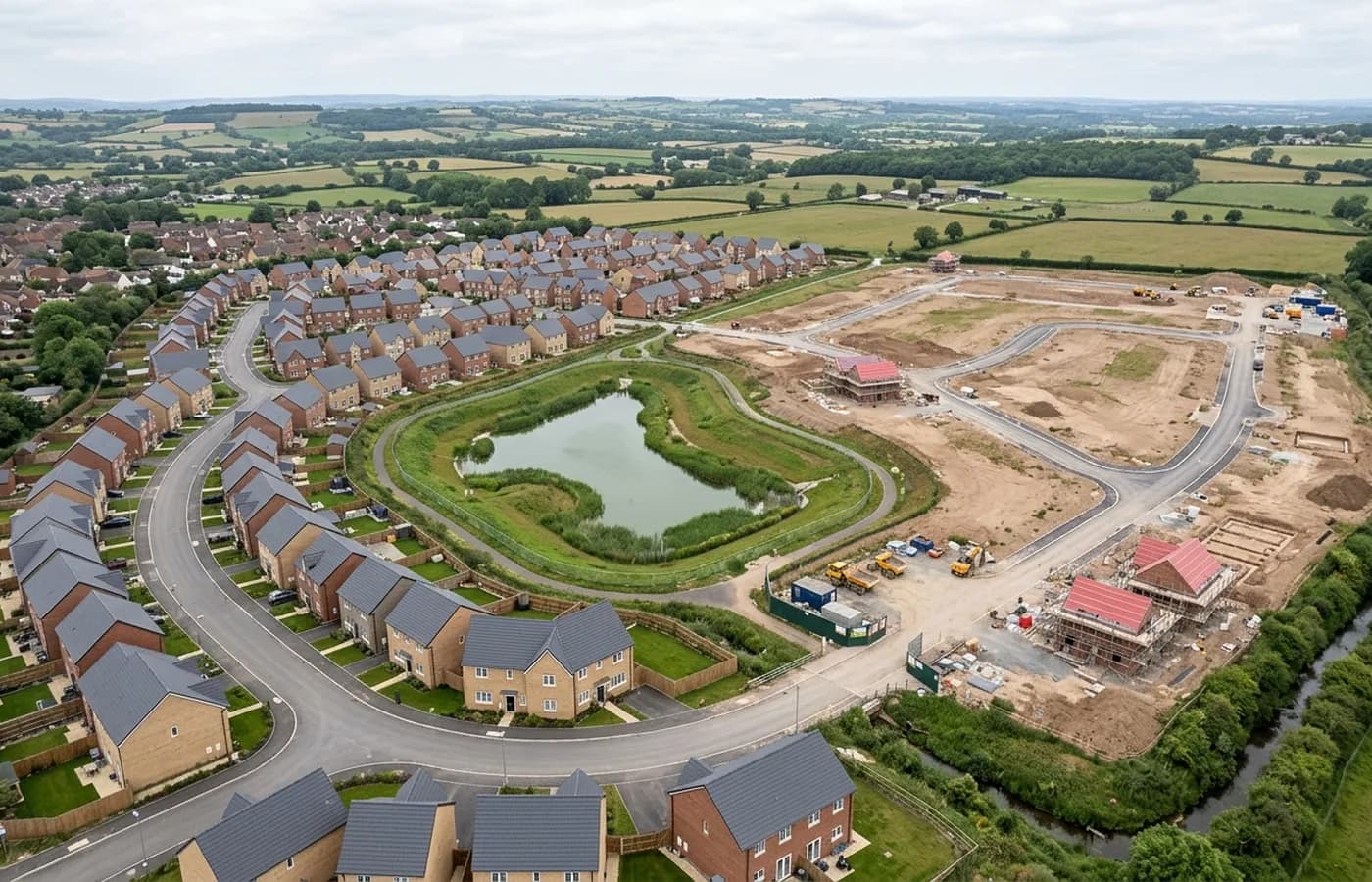
Exeter generates more site data work than anywhere else in this coverage area, and not because of the historic core. It is the edges: the strategic land east towards Pinhoe and Monkerton, the growth south west of the river, the industrial ground at Marsh Barton now served by its own station, and the steady churn of brownfield plots inside the ring road that come forward one at a time as older commercial units reach the end of their lives.
Each of those has a different data need. A strategic allocation wants an orthomosaic and contours at feasibility stage, before anyone commits to a layout. A brownfield plot inside the city wants an existing conditions model, because it usually has structures on it that have to be recorded before they come down. The same flight produces both, but the flight is planned differently.
Ground that falls three ways from the ridge
The city sits on a low ridge above the tidal head of the Exe, with the ground dropping away east into the Clyst valley and rising west towards Haldon. That relief matters more here than it does on a flat site, because the further a terrain surface has to reach across changing height, the more the flight has to be planned around it rather than flown as a single flat grid.
The valley also holds damp air and the rainfall is above the England average, which shows up in the data as long wet periods when standing water sits on unmade ground. Water reflects rather than returning a surface, so a platform with ponding across it comes back holed. On a site with drainage issues, the date the flight happens is part of the quality of the result.
Exeter Airport sits over the eastern approaches
Anything east of the city, out towards Pinhoe, Sowton, Clyst Honiton and the science park, needs the airport's airspace checked and cleared before a date is set rather than on the morning of the flight. It is not a barrier to flying, but it is a conversation that has to happen first, and it is the single most common reason a mapping job in this city has to be booked a few days ahead rather than squeezed in.
The rest of the city is more straightforward, though the density of the central quarters brings its own constraint: a site inside the ring road usually has uninvolved people, live streets and neighbouring property on at least two sides, which is what the A2 Certificate of Competency exists to cover.
Why it is the hub for the rest of the coverage
Base is here, which is why travel across Devon is inside the fixed price rather than a separate line. Topsham, Exmouth, Crediton, Cullompton and Newton Abbot are all a short run out, and a site here can often be flown in the same window as a job nearby.
It also means repeat work is straightforward. Monthly progress capture over a city development, which is one of the more common asks on live sites, does not carry a travel premium that makes the second and third visits uneconomic.
Behind the survey
What is behind a Exeter mapping flight
CAA registered operator
Operator ID and Flyer ID held, which is the baseline anyone commissioning a flight over a live site should be asking to see before anything takes off.
A2 Certificate of Competency
The qualification that covers flying closer to people and property than the open default allows, which is what a built up site or a town centre survey needs.
100 megapixel Hasselblad camera
On a DJI Mavic 4 Pro. Resolution is the whole argument on a mapping job: it decides whether a stitched site map shows a plot peg or a smudge.
Radiometric thermal camera
A DJI Mavic 2 Enterprise Advanced with a 640 by 512 thermal sensor, for the jobs where a site needs a heat reading alongside the map.
Insured with Coverdrone
Full commercial cover. Certificates go to your site team or your client before the visit if that is part of your process.
Written note within 48 hours
Every job comes with a written record of conditions, coverage and the limits of the data, not just a folder of files with no explanation attached.
Construction background
The surveyor came into this from building work rather than from photography, so a site brief about levels, access and programme lands without translation.
Nearby
Also covered around Exeter
- CranbrookEast Devon's new town, still building out phase by phase, which makes it the clearest case in the region for mapping a site repeatedly rather than once.
- ExmouthEstuary town with housing land coming forward inland and a reworked seafront, where salt air and tidal ground both shape when a survey can be flown.
- CreditonA market town among large Mid Devon landholdings, where the mapping work is as often a farm, an estate or a drainage catchment as it is a building plot.
- CullomptonMotorway-corridor town with a garden village allocation beside it, flat Culm valley ground, and earthworks big enough to make volumes worth measuring.
- Newton AbbotA market and racing town on the Teign estuary with a large western extension, a link road and low marsh ground that decides how a flight is timed.
See the output formats
Request a mapping quote in Exeter
Send the boundary and what the data is for. Sam Hembury will come back with a fixed price for the site and the next slot the weather suits.