Orthomosaic site mapping
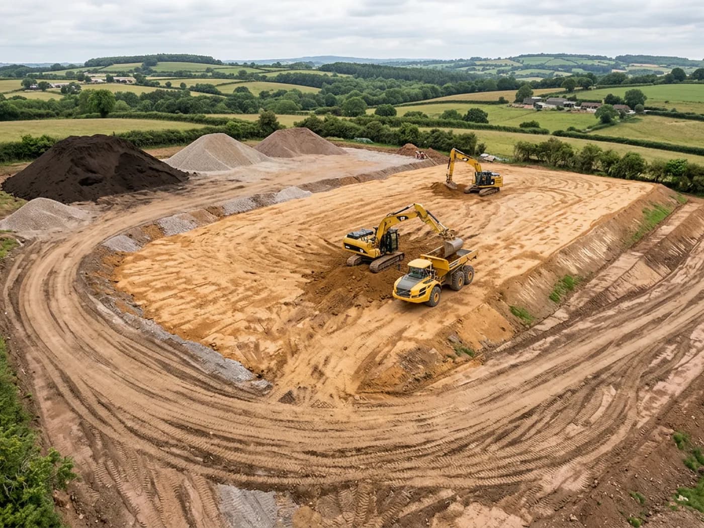
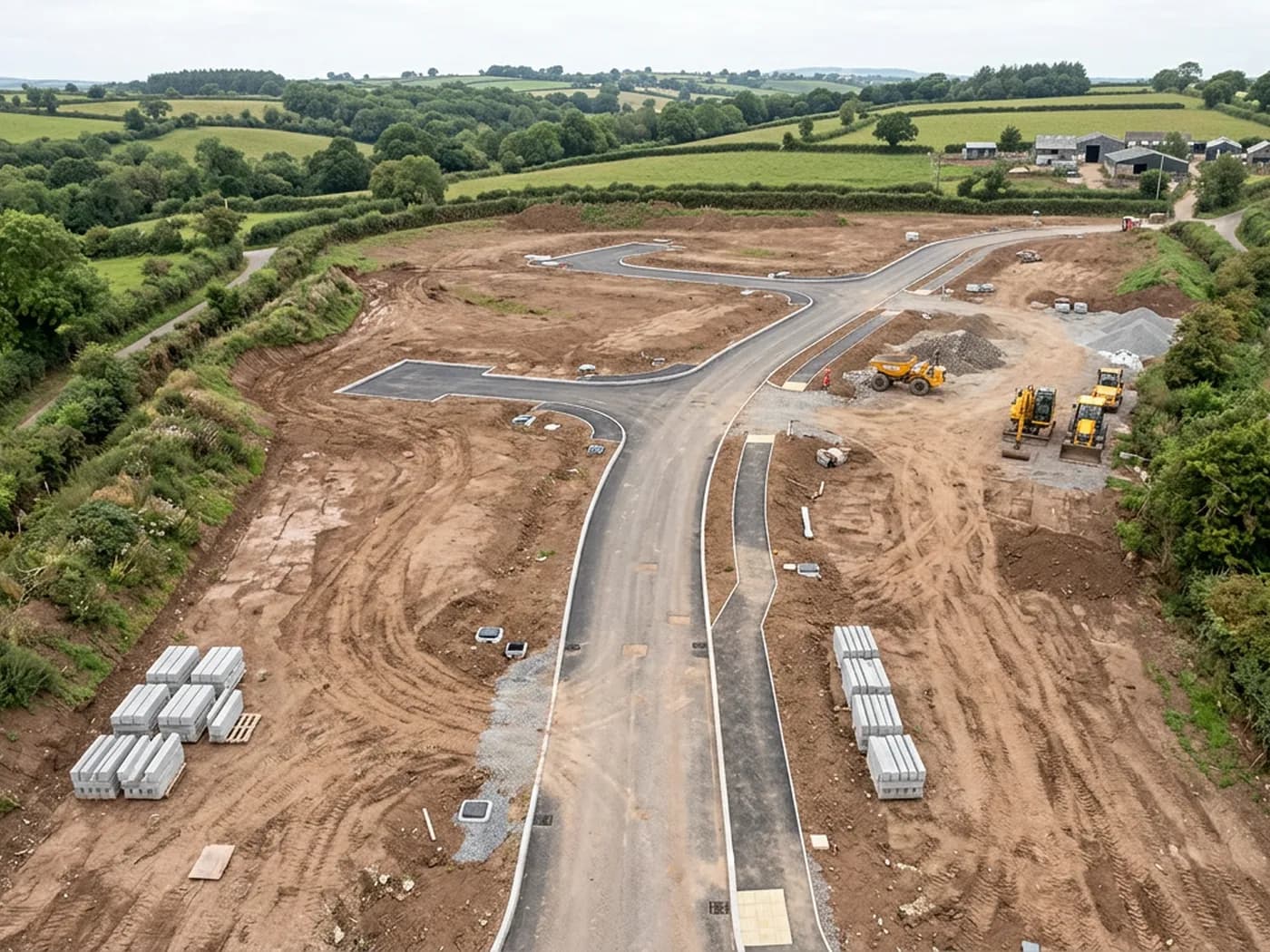
A single scaled, geo-referenced image of the whole site, stitched from a flight grid, ready to draw over in CAD or drop into a GIS.
- Flight planning for the site, including airspace checks and landowner or site access arrangements
- A gridded flight with the overlap the processing needs, flown in one visit where the site and the weather allow
- Processed orthomosaic supplied as a geo-referenced GeoTIFF, with a JPEG or PNG copy for presentations
- A scaled PDF plan of the site at a sheet size that suits the drawing