Devon · EX8
Drone mapping services in Exmouth
Estuary town with housing land coming forward inland and a reworked seafront, where salt air and tidal ground both shape when a survey can be flown.
Two kinds of site in one town
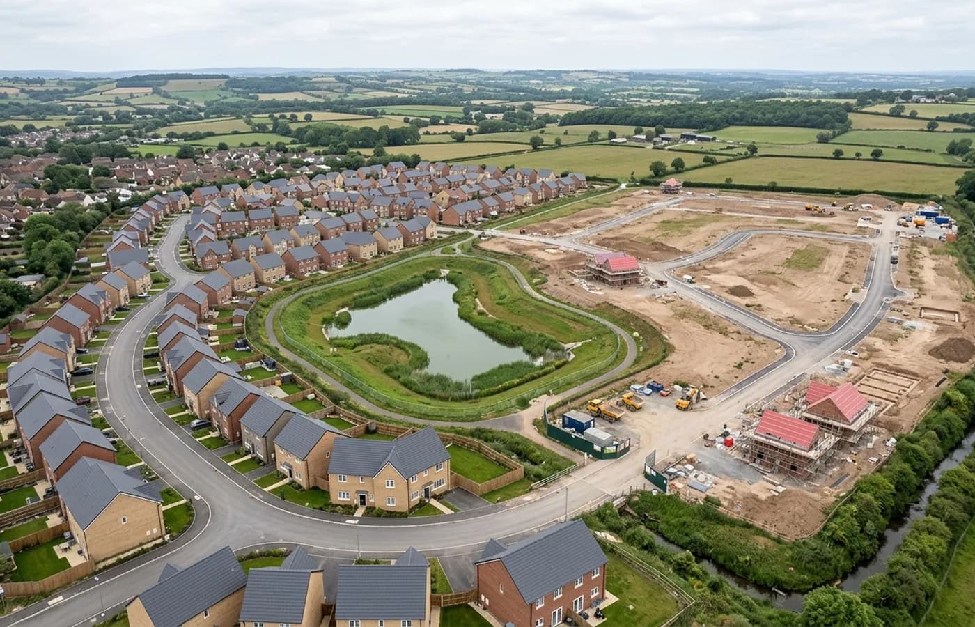
Exmouth splits neatly for this kind of work. Inland and to the north there is housing land that comes forward in blocks on former farmland, which is straightforward mapping: a boundary, a grid, contours and a quantity. Down on the front, it is the opposite, a tight urban edge between the road, the beach and the estuary where the projects are refurbishment, public realm and coastal work rather than greenfield layout.
A seafront job wants oblique capture as much as a straight down grid, because the thing being recorded is usually a face rather than a plan: a wall, a slipway, a row of frontages. That is a different flight pattern and it is worth saying so at the brief stage.
Tidal ground, and why the hour matters
Anywhere that touches the estuary or the beach has to be flown against the tide rather than against the diary. Water returns nothing usable to a photogrammetric process, so mudflat, foreshore and any part of a slipway below the waterline is simply absent from a survey flown at high water.
That is a timing question rather than a technical one, and it is easy to get right if it is planned. A site with a tidal edge is booked around the tide table, and the note that comes with the files records the state of tide at the time of capture so nobody later mistakes a covered foreshore for missing data.
Salt, wind and the state of the light
The town takes wind and salt-laden air off the sea year round. For a flight, the practical effect is the wind rather than the salt: an exposed seafront on a breezy day is a shorter flying window than an inland site the same morning, and a mapping grid wants steady conditions to keep the image spacing even.
Light is the other coastal variable. Bright low sun off the water throws hard shadow and blows out highlights on pale render and concrete, which confuses matching. Flat cloud, which most people assume is bad weather for aerial work, is better for this than a clear day.
Working around a resort in season
In summer the seafront and the beach carry large numbers of people who have not agreed to be part of anyone's survey, and that changes how and when a site can be flown. Early morning, out of season, or a tightly bounded area with the operator on the ground managing the perimeter are the three realistic answers.
Inland sites do not have that problem and can be flown at any sensible hour. Which of the two a job is decides how far ahead it needs to be booked more than the size of the site does.
The marina and the docks quarter
The waterside development around the marina and the old docks is a distinct kind of site again: moored boats that move between frames, water on two sides, and buildings sitting close to a quay edge. Moving vessels drop out of a photogrammetric process, which is a feature rather than a fault, but it means a marina basin comes back as water and gaps.
Behind the town the ground rises towards Orcombe Point and the red cliffs at the start of the Jurassic Coast. Cliff-top sites there carry the same angled capture requirement as any coastal face, and the same wind exposure that makes an afternoon slot less reliable than an early one.
Behind the survey
What is behind a Exmouth mapping flight
CAA registered operator
Operator ID and Flyer ID held, which is the baseline anyone commissioning a flight over a live site should be asking to see before anything takes off.
A2 Certificate of Competency
The qualification that covers flying closer to people and property than the open default allows, which is what a built up site or a town centre survey needs.
100 megapixel Hasselblad camera
On a DJI Mavic 4 Pro. Resolution is the whole argument on a mapping job: it decides whether a stitched site map shows a plot peg or a smudge.
Radiometric thermal camera
A DJI Mavic 2 Enterprise Advanced with a 640 by 512 thermal sensor, for the jobs where a site needs a heat reading alongside the map.
Insured with Coverdrone
Full commercial cover. Certificates go to your site team or your client before the visit if that is part of your process.
Written note within 48 hours
Every job comes with a written record of conditions, coverage and the limits of the data, not just a folder of files with no explanation attached.
Construction background
The surveyor came into this from building work rather than from photography, so a site brief about levels, access and programme lands without translation.
Nearby
Also covered around Exmouth
See the output formats
Request a mapping quote in Exmouth
Send the boundary and what the data is for. Sam Hembury will come back with a fixed price for the site and the next slot the weather suits.